
GIS Professional
I have GISP certificate from GIS institute USA
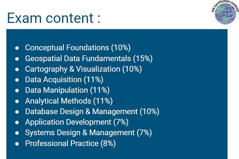
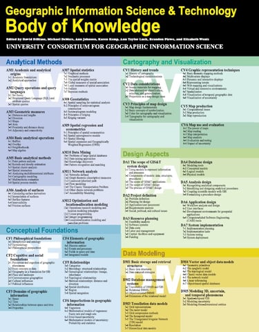
the geospatial core exam contain :



Project Management Professional
I have PMP certificate from project management institute PMI, USA
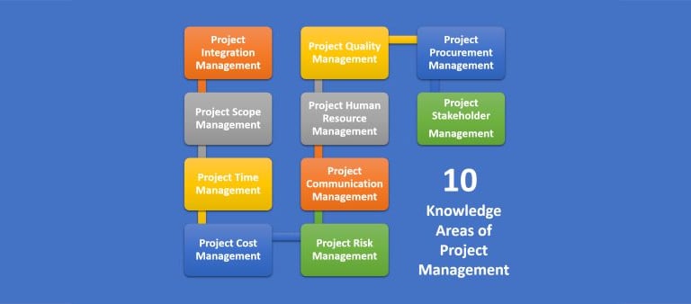
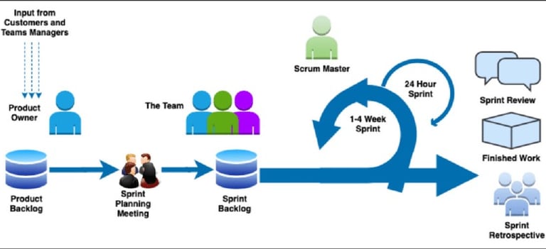
the core exam contain :



Projects
TIERRA VIVA , Spain
By Automobili Lamborghini
GIS plays a vital role in crafting the masterplan for Tierra Viva, Spain, a visionary project by Automobili Lamborghini in collaboration with Darglobal Company. With precise spatial analysis and data management, GIS enables strategic decision-making, optimizing land use, infrastructure placement, and environmental considerations. This integration of GIS technology ensures that Tierra Viva achieves its vision of innovation and sustainability in the dynamic Spanish landscape.


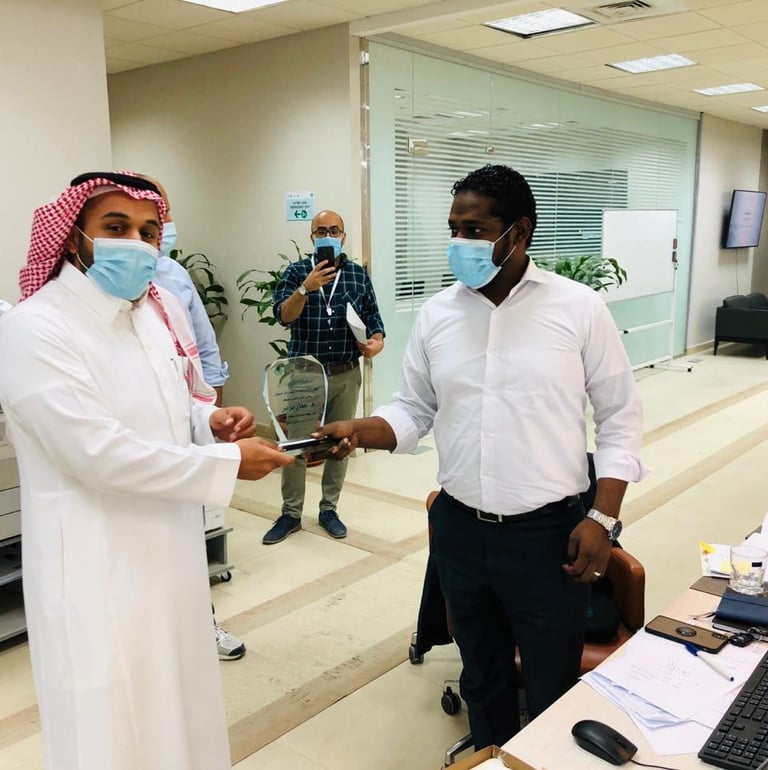

Riyadh Municipality PMO
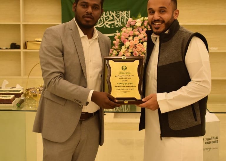

Leading the GIS team
overseeing their activities in alignment with the PMO's goals and objectives.
Designing a 5-year GIS strategy, along with detailed plans and roadmaps
Learn about our expertise in dam establishment and construction.


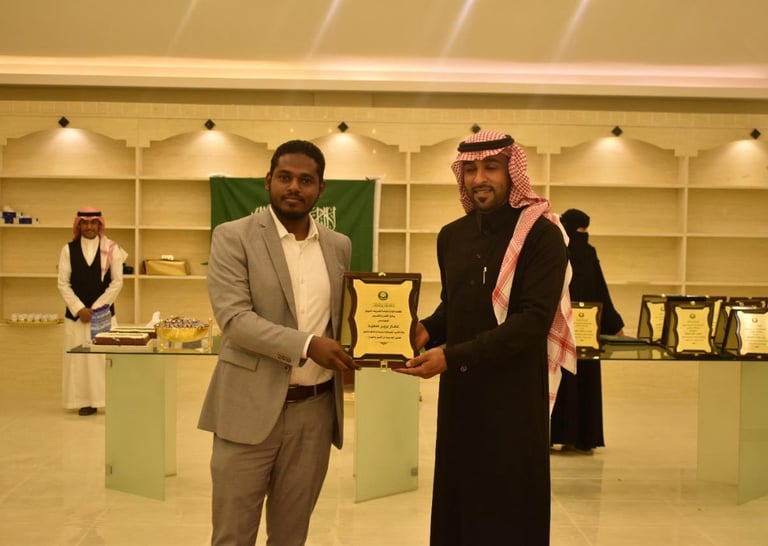

Encouraging and fostering a culture of GIS innovation
Find out more about our quantity survey services using different software.
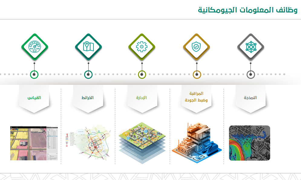
Discover how we help with data cleansing, reporting, and producing maps.
Hydrological Studies
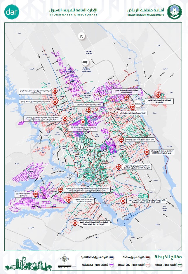
Storm Water Drainage Projects
As a GIS Engineer within the Riyadh stormwater drainage PMO, I am responsible for developing, designing, coding, and testing GIS models and internet mapping solutions. I also actively participate in client meetings to discuss technical specifications and customized solutions. Additionally, I play a crucial role in generating weekly, monthly, and yearly reports on project progress, key milestones, challenges, and future projections. These reports offer stakeholders valuable insights into the status and performance of stormwater projects, facilitating informed decision-making and effective project management strategies.

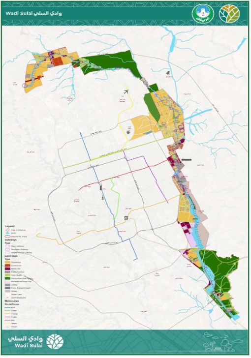

Wadi Sulay Program
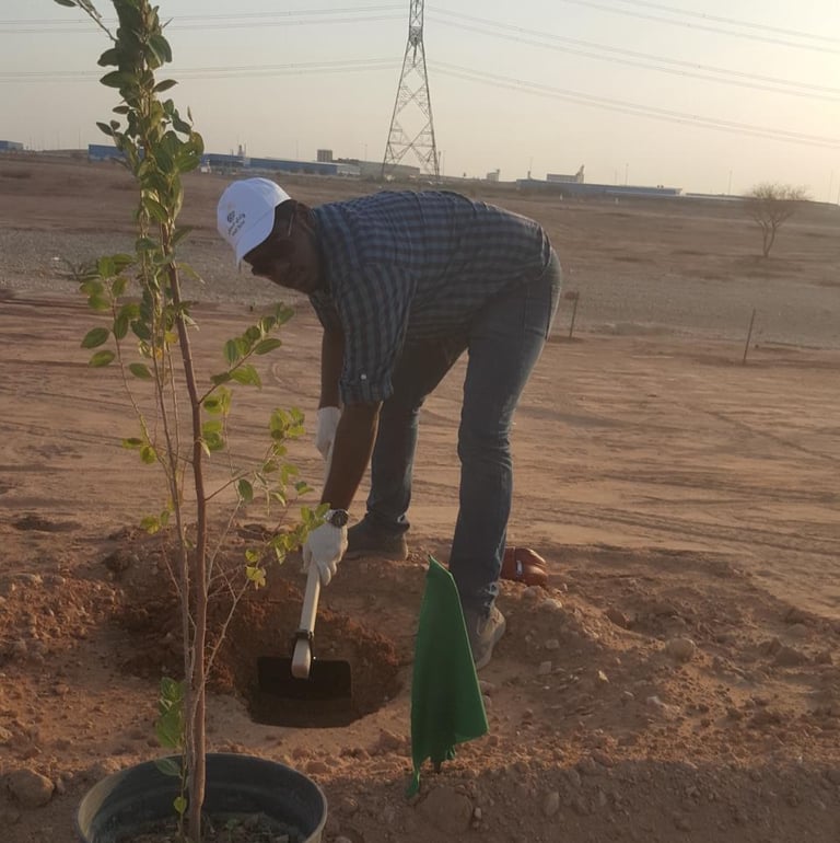

Planting
I have actively contributed to the greening efforts in the Wadi Sulai Valley, enhancing its natural beauty and ecological balance. Through strategic planting initiatives and environmental stewardship, we aim to create a sustainable ecosystem that benefits both the environment and the community..
The Wadi Al-Sulai Projects aim to integrate drainage and open space networks, enhancing recreational activities and fostering environmental, social, and economic benefits in Riyadh. Spanning 110 km, with a population expected to reach 5 million by 2030, my role as a GIS engineer is pivotal. Collaborating on technical reports, hydrology, and flood mapping, I contribute to the wadi's environmental enhancement. Together, we're developing sustainable strategies, including access plans, ecology surveys, and landscape concepts, to create a vibrant and resilient urban environment, which includes extensive planting initiatives outlined in the urban master plan.
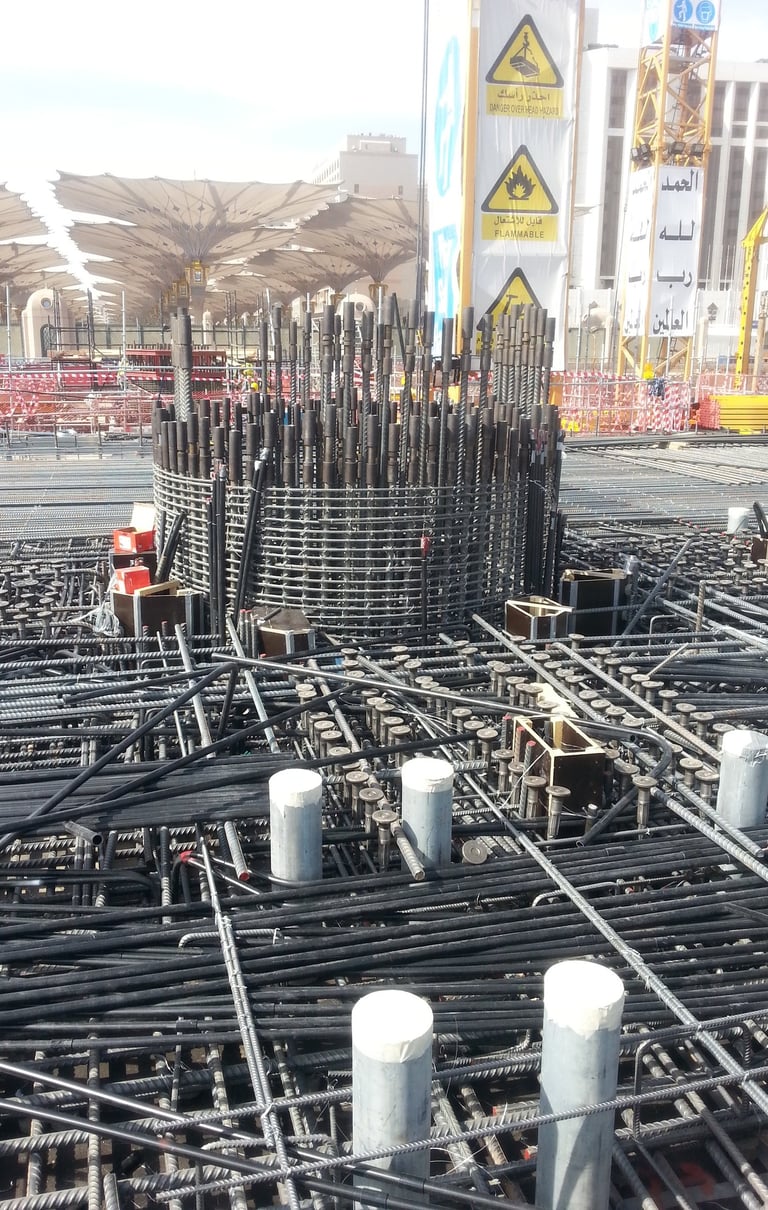

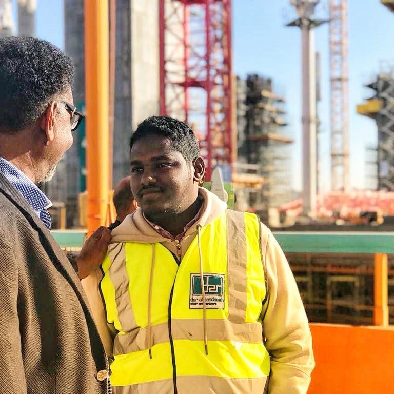
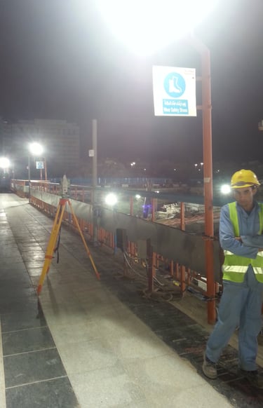
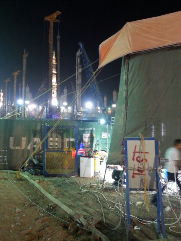
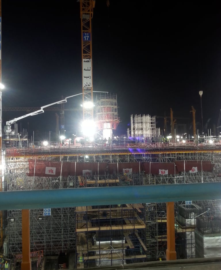
MADINAH HARAM EXPANSION Project
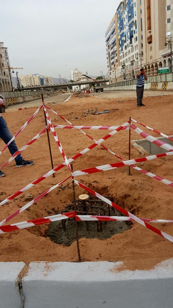

supervision & Consulting
Explore our latest hydrographic survey projects and discover the underwater world.
Establish control points and traverse
Learn about our detailed coastal mapping projects and how we measure underwater topography.
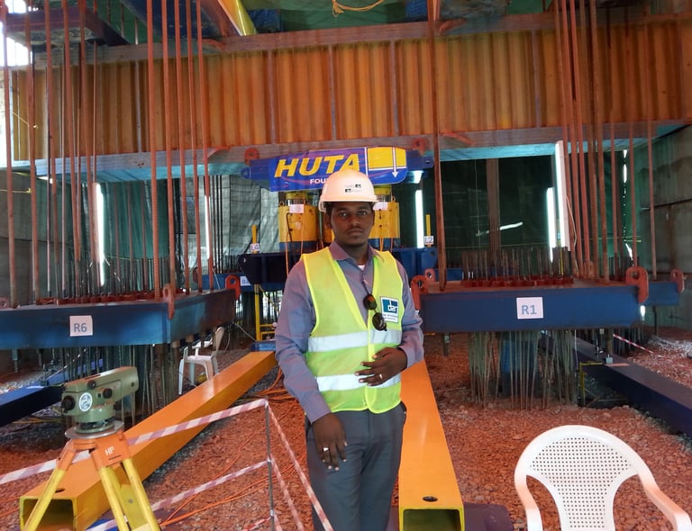

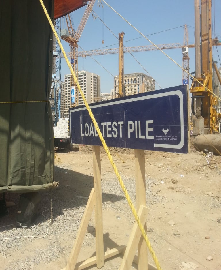
Pile Testing
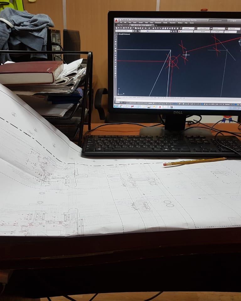


Establish control points and traverse
Establish control points and traverse
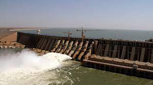

Roseires Dam Raising Project


Our Work
Explore our hydrological and topographic studies and surveys.
Dam Establishment
Learn about our expertise in dam establishment and construction.
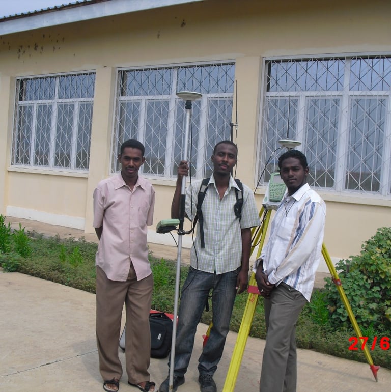

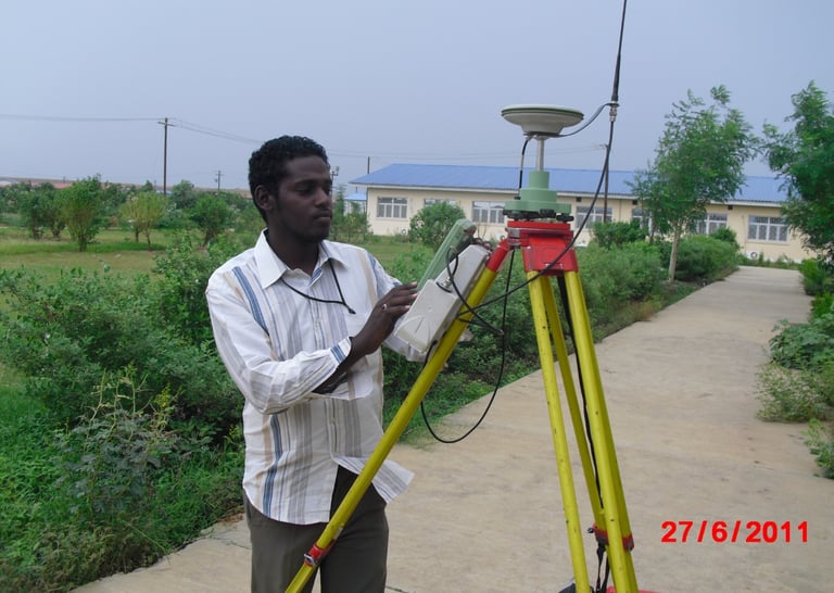

Quantity Survey
Find out more about our quantity survey services using different software.
Discover how we help with data cleansing, reporting, and producing maps.
Hydrological Studies
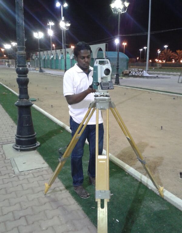

Infrastructure Projects
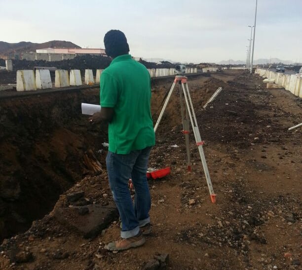

Accurate Assessments
Providing precise information for bank evaluations and planning processes
On-site Visits
Conducting evaluations by visiting buildings to gather accurate data


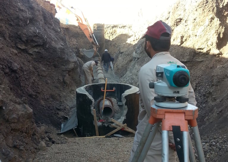

Aerial Imagery
Utilizing aerial imagery to assess the number of floors and content of buildings
Supporting bank evaluations and facilitating effective planning processes
Effective Planning
Property & Land
As part of my responsibilities, I conducted evaluations of buildings for bank evaluation and planning work.
This involved assessing the number of floors and the content of the buildings using both aerial imagery and on-site visits. The objective was to provide accurate information to support bank evaluations and facilitate effective planning processes.


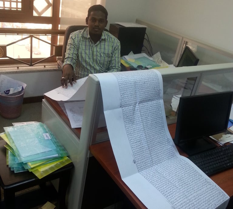

Check land ownership documents
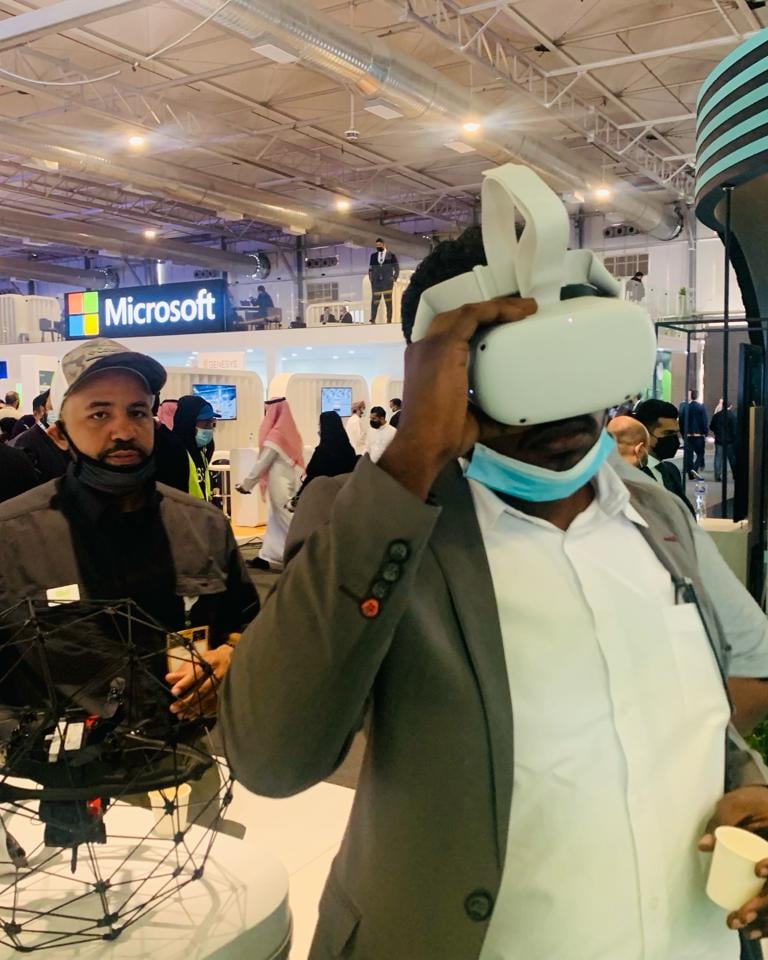

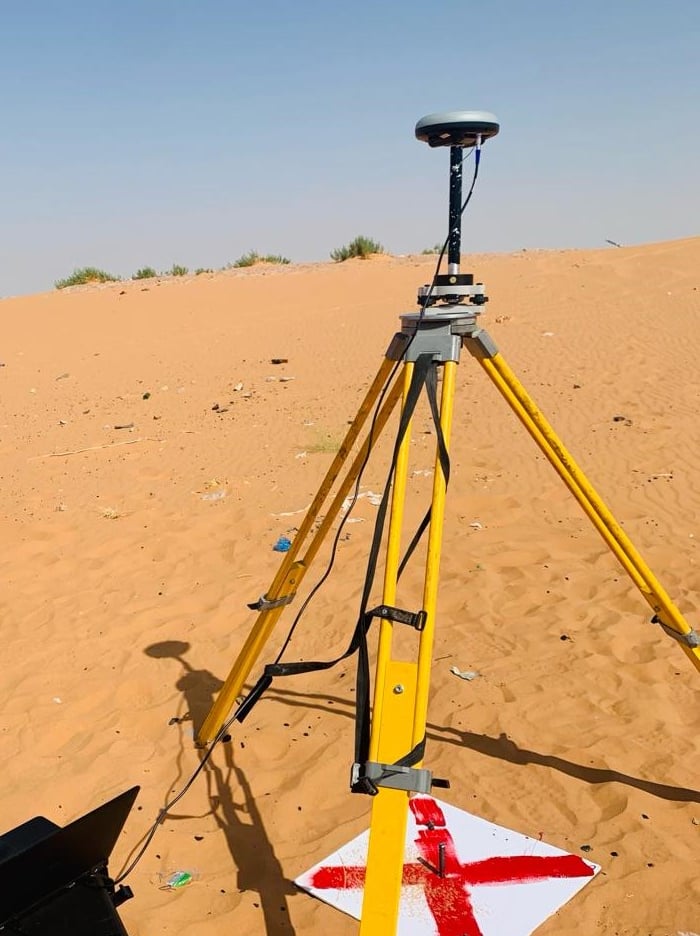
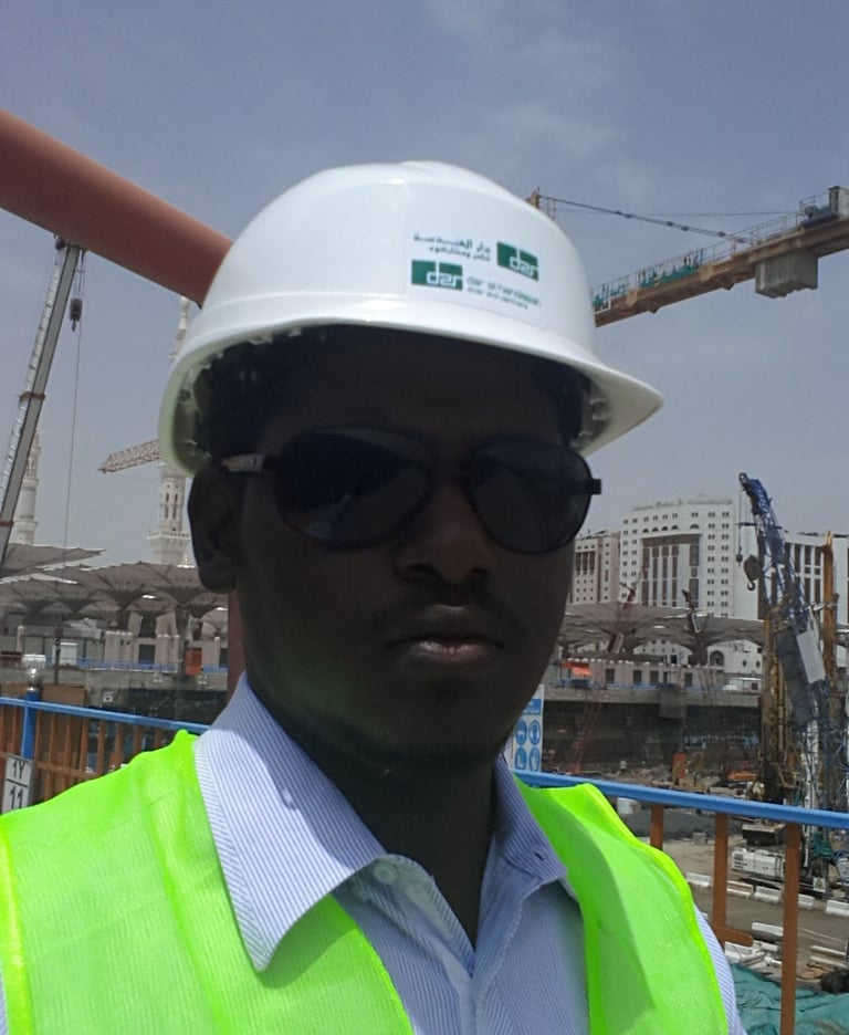
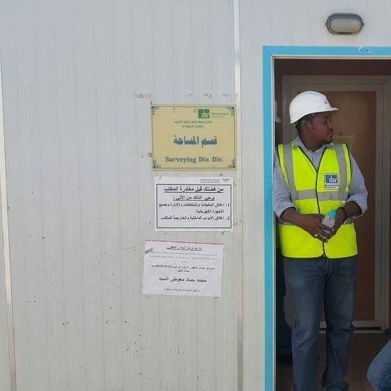
General Photos
















Academic Background
MSc. Geographic Information Systems (GIS) and Geodetic Surveying Engineering
2016
BSc in Surveying Engineering (Geodesy)
2005-2010
Diploma In National Strategic Planning
2017
GIS Professional (GISP), Membership No (161751) , GIS Certification Institute (GISCI), Columbia,, USA
Project Manager Professional (PMP), Membership No (3699244) | Project Management Institute(PMI), Pennsylvania, USA
Professional Engineer (PE), Membership No (3699244) | Saudi Council of Engineers | Riyadh, KSA, State
Engineer, Membership No (23247) | Sudan Council of Engineers | Khartoum, Sudan, State
Professional Business Analyst (PBA), Under progress |Project Management Institute(PMI), Pennsylvania, USA
MEMBERSHIPs
Drone Professional Certificate | FEDS
Revit BIM Course | by GoPillar Academy
BIM & 3 D Modeling in infrastructure projects | UDEMY
Spatial Data Science_ The New Frontier in Analytics| ESRI
Transform AEC Projects with GIS and BIM | ESRI
Do-It-Yourself Geo Apps | ESRI
Cartography | ESRI
COURSES
ArcGIS, ArcGIS Pro, ArcGIS online , Survey 123, QGIS,
AutoCAD, Civil 3D,
ERDAS, Global Mapper, Jira, Monday, Slack, Figma, Notion
Knowledge AِِPI , HTML ,CSS, Python, JavaScript, SQL and Arcade
Microsoft office (Excel , Word )
GPS , Total Station , Level , LIDAR , Drones
Software's & Instruments
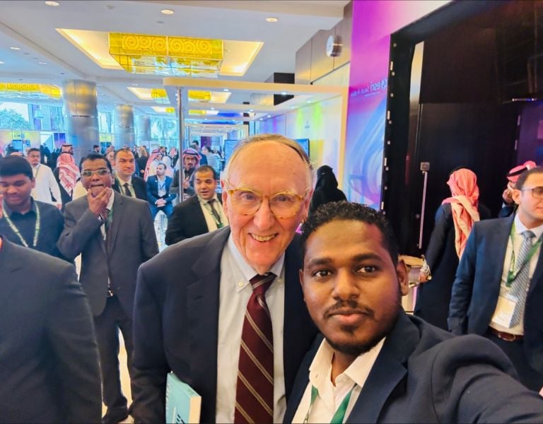
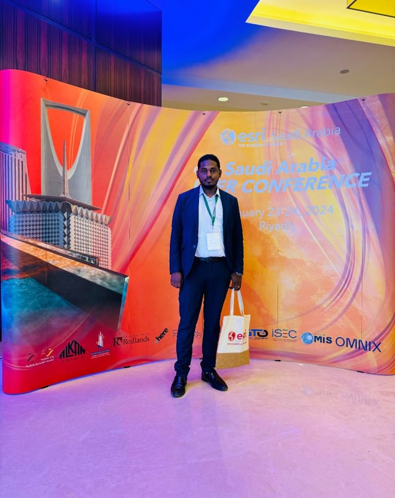
ESRI User Conference 2024 , KSA
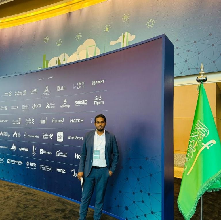
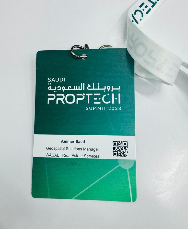
Proptech 2023 , KSA
Cityscape global 2023 , KSA
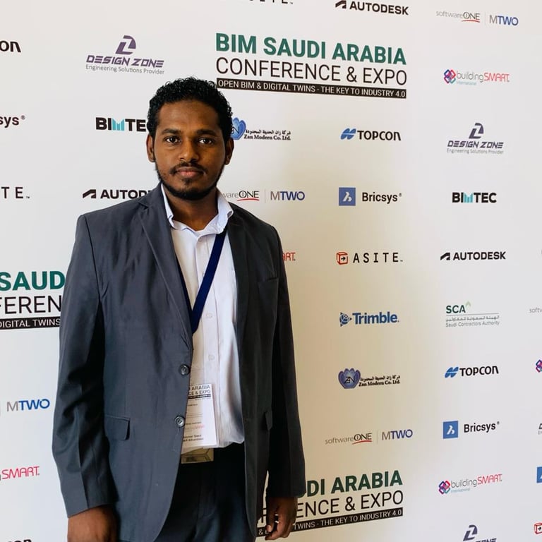
BIM Saudi Arabia Conference & Expo 2022, KSA
International Conference on Geographic Information, KSA
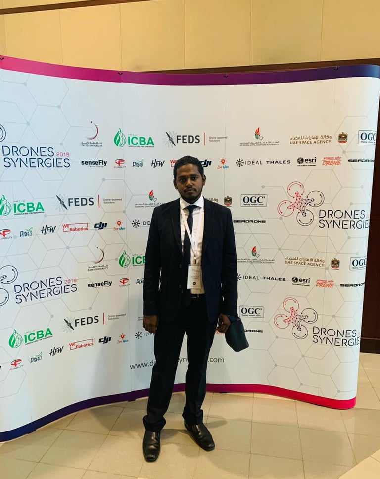
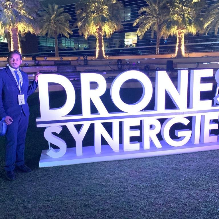
Drones Synergies DUBAI,2019 , UAE
The 4th FEIIC - International Conference on Engineering Education & Research–2017 , KSA
Conferences
Riyadh Municipality (RM) , Royal Commission for Riyadh City (RCRC) , Vision Realization Office ( VRO )
Ministry of Municipal and Rural Affairs (MOMRA) , Ministry of Transportations (MOT)
Ministry of financial (MOF) , Ministry of Justice (MOJ)
Real Estate General Authority (REGA)
Saudi Electricity company (SEC) , National Water Company (NWC)
Saudi Railways company (SAR) ,
General Authority for Survey and Geospatial Information (GASGI)
General Authority for Statistics, Saudi Entertainment Ventures Sports (SEVEN)
Aramco , General Authority of Civil Aviation (GACA)
King Saud university , King Salman Park
Diriyah Gate Development , Authority Qiddiya
National Guard , Saudi Authority for Industrial Cities and Technology Zones (MODON)
Saudi Federation for Robotics & RC Sports
Contractors Companies (Saudi Binladin Group, Shibh Al Jazira , Yuksel ..)
Consultant Companies ( AECOM , WSP , Parsons, Fichtner .. etc )
Real Estate developers.
